
Description
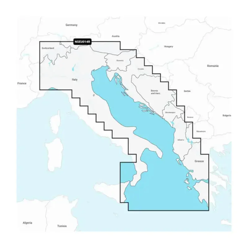
Garmin Carto 010C123920 Italy Adriatic Sea Garmin Navionic
Navigate the stunning Adriatic Sea with confidence using the
Garmin Carto 010C123920. This premium cartography product is designed specifically for marine navigation, providing detailed maps and essential information for a seamless boating experience. Whether you’re a seasoned sailor or a recreational boater, this Garmin Navionic cartography ensures you never miss a beat on your journey.
Key Specifications
- Map Coverage: Italy’s Adriatic Sea Region
- Compatibility: Garmin chartplotters and GPS devices
- Data Storage: 1 GB memory capacity
- Updates: Free map updates for the first year
- Detail Level: High-resolution charts with depth contours
- Features: Points of Interest (POIs) and navigation aids
List of Features
- Comprehensive Mapping: Includes detailed charts of harbors, marinas, and waterways.
- Advanced Navigation: Features real-time navigation for safer and easier travels.
- High-Quality Graphics: Stunning visuals that enhance your navigation experience.
- User-Friendly Interface: Easy to install and integrate with existing Garmin devices.
- Regular Updates: Stay up to date with new information and enhancements.
Final Thoughts
The
Garmin Carto 010C123920 Italy Adriatic Sea Garmin Navionic is your essential companion for marine adventures. With rich detail and user-friendly features, you can explore the Adriatic Sea with peace of mind. Don’t let your journey be hindered by outdated maps—upgrade to the Garmin Navionic today and elevate your navigation experience. Order now to set sail with confidence!



Reviews
There are no reviews yet.